Upper Midwest Weather: Winds spike to 40 mph before weekend heat returns
Cold fronts will bring gusty conditions to western South Dakota and northeastern Wyoming this week, but temperatures are set to climb near 70 degrees by the weekend.
By Amit Ricci ·
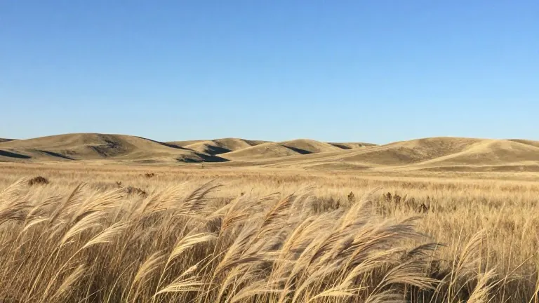
Western South Dakota and parts of northeastern Wyoming face a brief period of strong winds and cooler temperatures this week. The change is driven by a series of cold fronts moving through the region.
Meteorologists forecast wind gusts between 35 and 40 mph on Tuesday and Wednesday. These strongest gusts are concentrated in western South Dakota, though windy conditions are also expected in parts of northeastern Wyoming. An earlier front may produce gusts near 25 mph in northwestern South Dakota.
The passing systems are not expected to bring much moisture to the area. A small chance of light showers exists, and a stray shower is possible in northeastern Wyoming on Tuesday. Widespread precipitation is not anticipated for the rest of the region.
Temperatures will remain mild despite the incoming fronts. Overnight lows in Sturgis are forecast at 45 degrees, while Rapid City is expected to see 44 degrees. These figures are well above the typical low of just under 30 degrees for this time of year. Surrounding areas are projected to stay in the mid to upper 30s.
Rapid City reached 62 degrees on Monday, exceeding the average high of 50 degrees for November 9. Sheridan, Wyoming, is expected to hit 63 degrees, with highs in the 60s continuing in Gillette. In the northern Black Hills, Spearfish and Deadwood are expected to see highs in the 60s on Monday and Tuesday. A front moving through Tuesday into Wednesday will lower temperatures in those communities to the mid-50s, with Custer dropping to the lower 50s by Wednesday.
A warmer pattern is expected to return after the midweek fronts pass. Southwesterly winds and a shifting ridge of high pressure will bring temperatures approaching 70 degrees in parts of the region by the weekend. Communities such as Philip and Pine Ridge could see highs in the mid-60s south of Interstate 90, while areas farther north will likely remain in the upper 50s.